Featured

6 Month roadtrip across America

This is the post excerpt.

pexels-photo-490466.jpeg
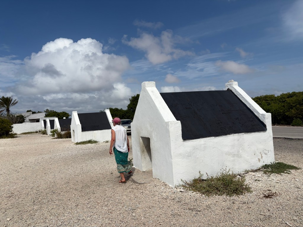
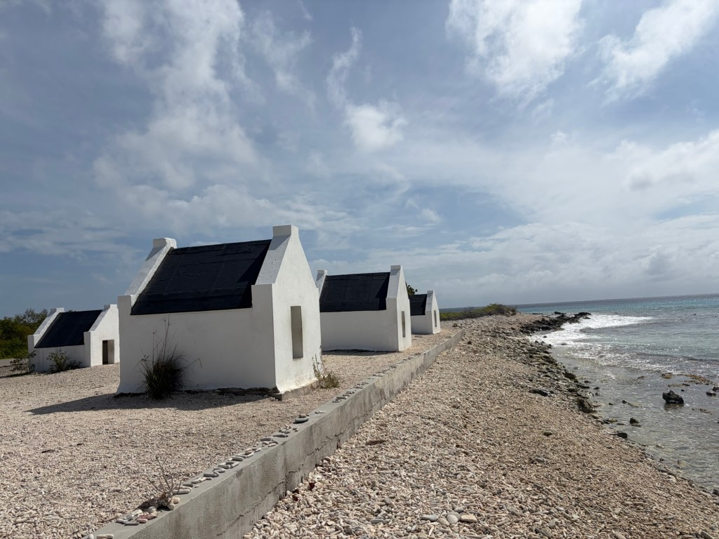
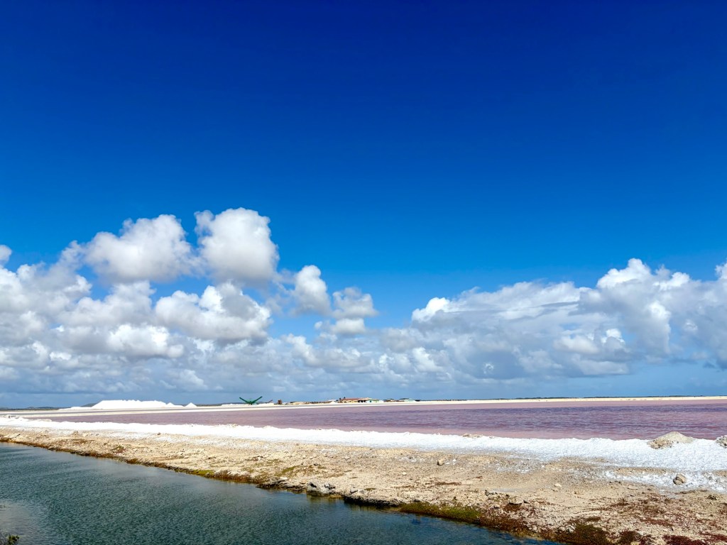
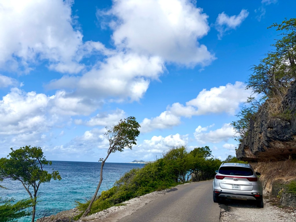
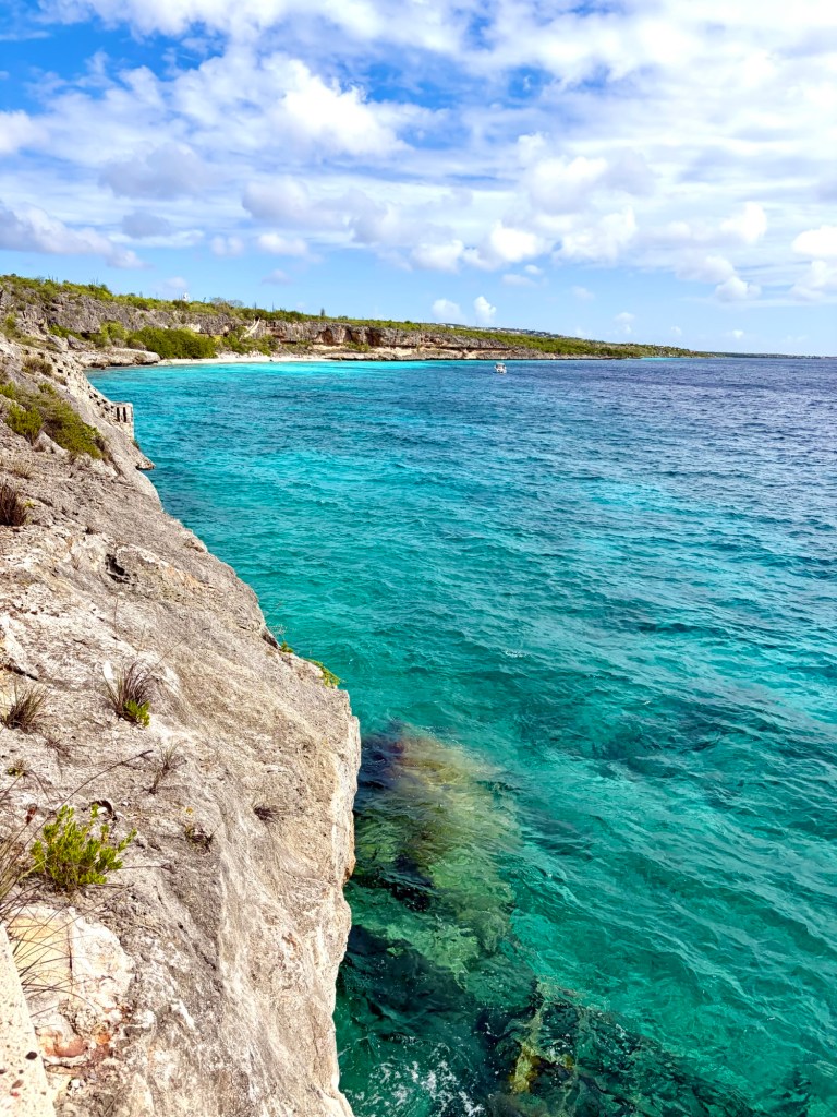
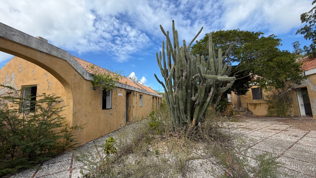
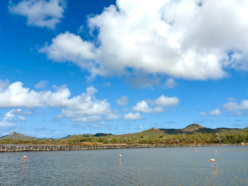
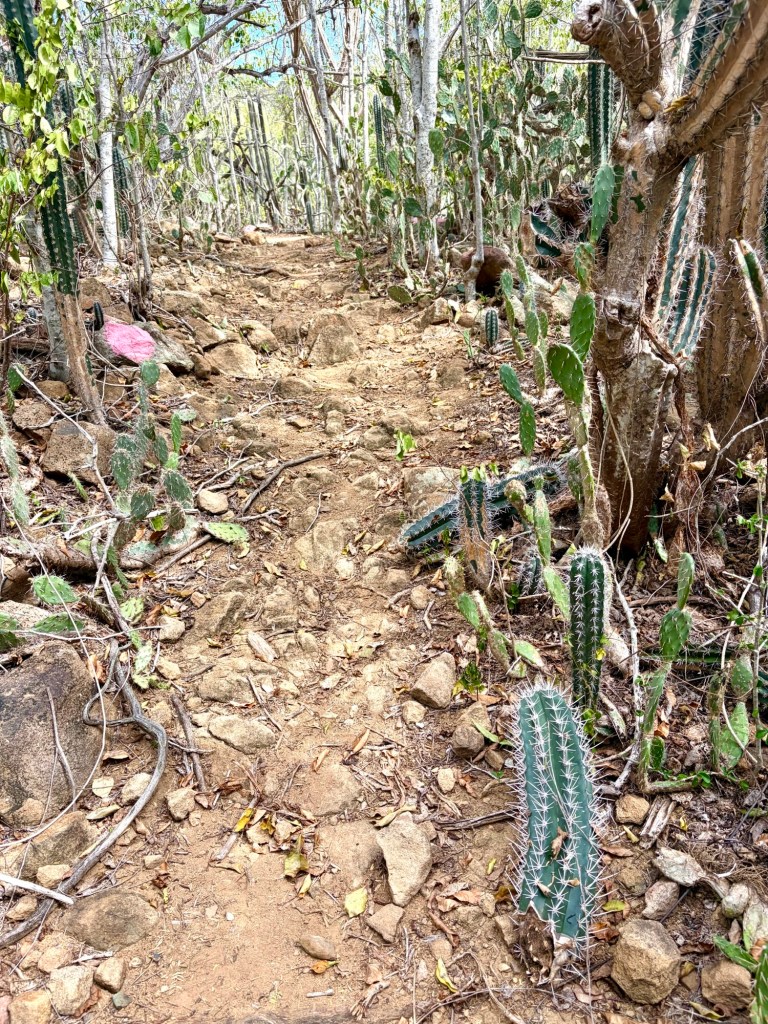
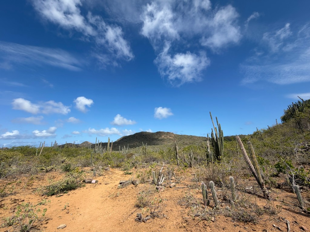
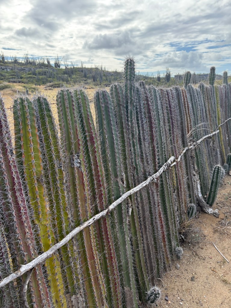
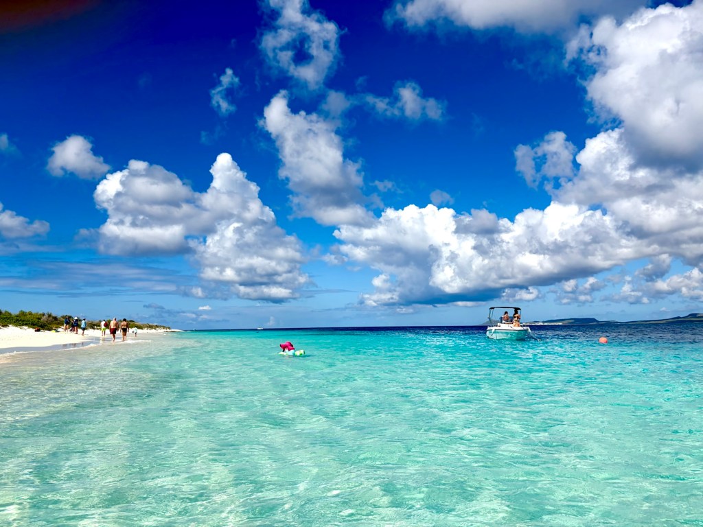
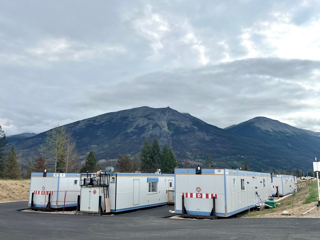
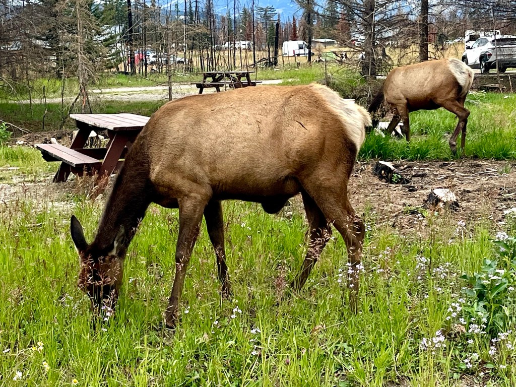
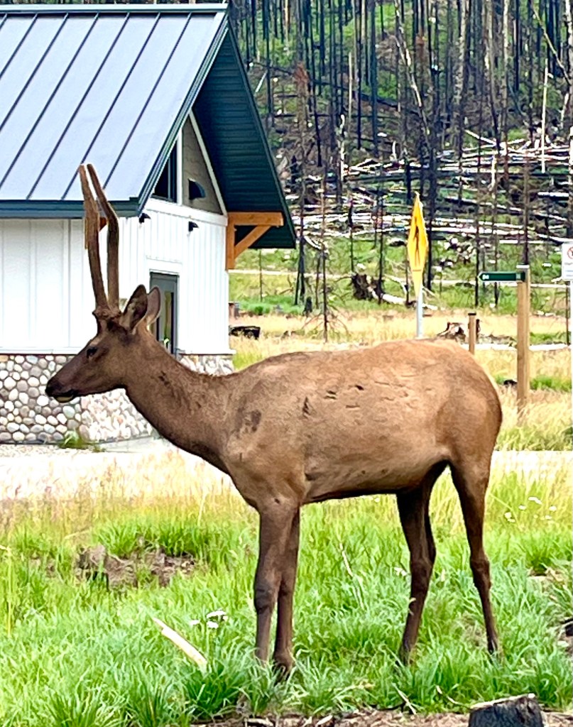
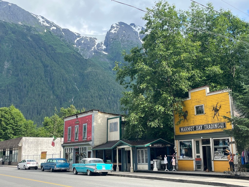
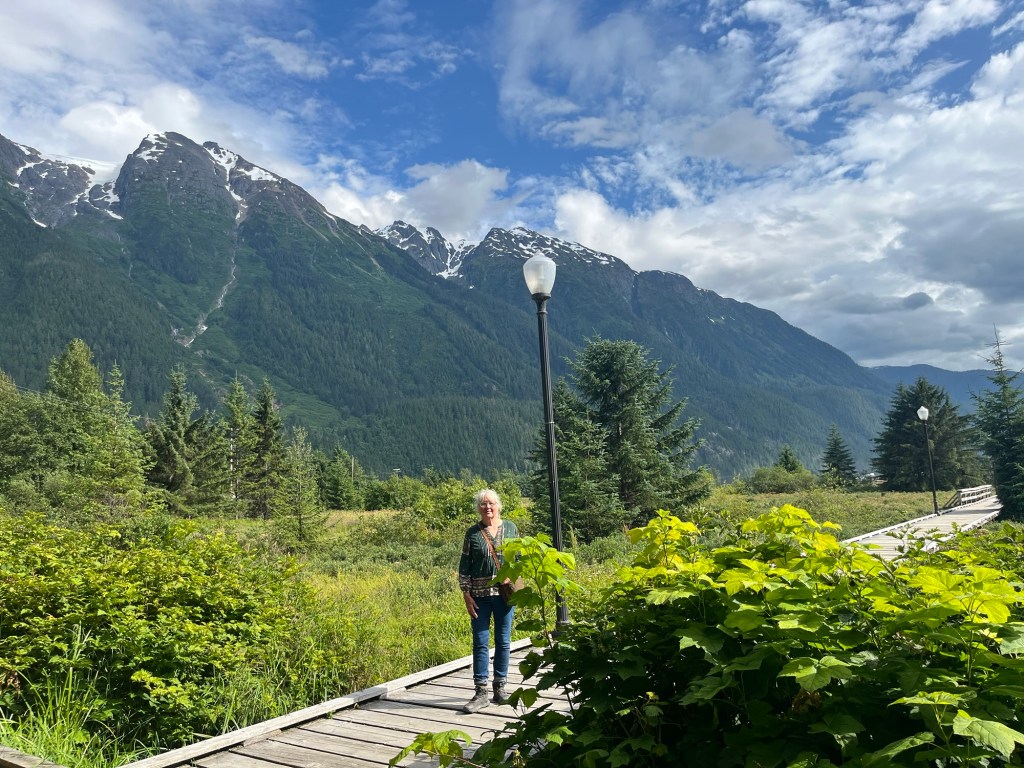
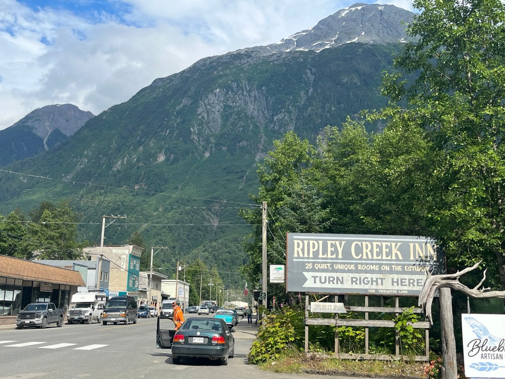
Final preparations are falling in place for our 6 month road trip across America. We depart from Vermont March 1st and hope to be back in September. We have traveled the world, it’s now time to see America. Our compact camper on my 3/4 ton 4X4 pickup will allow us to comfortably go anywhere, park anywhere, see and experience the hidden gems of our vast country. Out trip will be to heartland America, not the populated coasts, but the interior States often called “flyover country” by urban dwellers. We seek to know and understand the “ other “ America, the America often ignored and derided as backward, uneducated, poor, overly religious, racist, unsophisticated, booring. We will avoid the Interstate Highway System, and visit very few cities. We will seek out small towns, farms, ranches, the remote empty places, as well as some vacation spots and tourist traps. I want to  talk to the locals, eat their food, listen to them.

Stay tuned.


Slave quarters

The Dutch settlers initially enslaved the local Carrib Indians to work the salt flats for this valuable export. After they killed off the local native population, they imported African slaves to do their work. They built these “ dog houses” for the slaves. This particular slave compound was built in 1850

These slave quarters are a few hundred feet from the vast salt ponds. There’s absolutely no shade for miles, the working conditions were brutal. A least they had the sea to bath in

These salt ponds stretch to the horizon

Bonaire kite boarding

When we arrived on island I noticed several passengers picking up large flat cases 5 ft in diameter at the airport luggage claim. I was informed they were kit boards. The island had a dedicated beach for it and it was a sight to watch. It looks like quite a skill to master

The board itself looks like a snow board
They spread their kites out to dry in the sun. A small boat helped those separated from their kites retrieve them . We sat on the beach watching the amazing acrobatics . It’s not for the faint of heart !

Touring Bonaire by car

We decided to take the shore route around the island in our rental car. The island is 26 miles long and 5 miles wide, about third bigger than Nantucket. The first part of the drive is on a one way narrow paved road winding along the coast, a very scenic route. The road then heads inland to the mountains which contain a remarkable salt water lake far from the coast.

A majority of the coast is like this , no beaches and very limited water access
We stopped by an abandoned Aloe plantation, The central courtyard had a beautiful coral inlayed patio and pathways
The narrow road into the mountains was lined with these tall skinny cactus
Near the summit we arrived at this salt water lake ( not connected to the sea ) which was 3-4 miles long and dotted with wading pink flamingos.
The flamingos slowly waded along scratching the bottom and ducking their heads under feeding on shrimp. They made a soft clucking noise reminding me of our Vermont wild turkeys
Beyond the lake we parked and headed into the mountains on a trail marked with pink stones . We headed uphill and did a 4 mile lope through the beautiful cactus scenery . It was scorching hot.
The summit reminded us of Arizona

On the way back to town we saw alot of this cactus fencing , very effective against the invasive wild donkeys that cause ecological havoc island wide. We went swimming when we got back to our place, whew !

Klein Bonaire

Klein Bonaire ( the word Klein in Dutch is small ) is a small uninhabited island just off the coast . It one of the last Carribean islands that have been spared from development. It is part of the Marine Preserve and protected from over tourism and reef degradation. We took a water taxi over, the first one of the day and arrived to an empty pristine island, truly a bit of paradise . The turquoise waters and reefs were teeming with healthy corals and marine life. The island had no facilities, only a couple of small roofed picnic spots with benches to escape the equatorial sun. The island has a long beautiful sand beach which are surprisingly rare on these coral islands. We spent a couple of hours floating over the coral gardens in 30 feet of crystal clear water mesmerized by the schools of fish and vibrant corals, a memorable experience. We plan on going back before leave head home.

We wait for the water taxi at 8 AM
Our water taxi held about 20 people. The captain is a retired airline pilot.
Our fellow adventurers

From our porch, the sun sets over South America

The remarkably clear water

Kralendijk, the only town on the island

The island population is 25,000 with Dutch the official language. Tourism is the main industry with most people directly or indirectly involved in it. This is a major cruise ship stop pumping a lot of revenue into the island. Like many Carribean islands, it’s a love/ hate relationship. The islanders complain that the passengers eat on board ship and basically only buy t shirts and souvenirs in town . They do take tours and rent golf carts ( clogging traffic ) but are tolerated, not loved. There are typically two ships arriving each morning disgorging thousands of passengers for a few hours on the island. They depart early evening sailing all night to the next island to repeat the process. Main Street is jammed all day and a ghost town at night. The town is clean and prosperous looking.

As with many buildings on the island, the town is painted in bright colors.
There are two cruise ships docked in a row looming over the water front . They blast their horns 30 minutes before departure warning passengers to get on board
You see some interesting traffic on the roads

Beach day on Bonaire

Many beaches are empty, we try to find a bit of shade from the scorching sun
The water is gin clear, some the best visibility we’ve seen anywhere in the world. I brought a thermometer, it’s 84
The beaches have loads of these blue iguanas scurrying about , they’re a foot long
We snorkeled here along the empty pier. Water was full of colorful fish, corals, sponges, a beautiful spot
The road along the beach had occasional food trucks with great food
Lion fish are a big problem all over the Carribean, they tasted great

Bonaire

We flew to Miami then borded a flight south across the Caribbean to Bonaire, a small Dutch controlled island 50 miles off the coast of Venezuela. It was almost 8 hours of flying. Due to the current state of war between Venezuela and the US, our pilot had to Navigate without GPS as both sides are jamming it .

We rented a water front place in a marina on the second floor, a very nice spot . We’re just outside of the small town Kralenijk, a 2 minute car ride ( we rented a car ) .

Bonaire is primarily a diving destination with amazingly clear water . The entire island is a Marine Preserve protecting all the reefs and ocean life. This island is below the hurricane belt and it’s been spared the Sargassum seaweed nightmare that has ruined much of the Caribbean. We’re not far from the equator and it’s HOT, it was quite a shock exiting the plane into the tropical blast furnace, we had started our trip in down parkas . It cools down to 80 at night and is around 90 during the day. Fortunately the trade winds are always blowing so there’s a constant breeze making our covered porch pleasant to sit on . The water temperature is in the 80,s , nice swimming.

There are surprisingly few Americans here. Most visitors are European with Dutch and Germans the most numerous. The stores are full of Dutch products with Dutch labels making shopping a bit confusing . We had to guess what we were purchasing in the food stores. It was difficult to decipher between butter and margarine. The Locals are very friendly but some of the Europeans not so much.

The architecture has a Dutch flavor to It that I find attractive . The newer buildings often copy Dutch styles from the old country. There’s lots of new buildings and the island seems prosperous. Due to our extremely remote location , everything is pricey.

We hit the beach tomorrow for snorkeling.

Some waterfront buildings
Our condo is upstairs
Karen enjoys our porch
A waterfront resort

I love the colors

This island is a desert with no native palms, they’re all planted. Only scrub brush and cactus grow here

Canadian High Plains

We departed Jasper National Park in Alberta Province and headed down the Ice Fields Parkway snaking through the beautiful Canadian Rockies. We approached one especially high mountain pass and the rain soon turned into sleet. As we reached the high plateau summit it turned into heavy snow. We cautiously continued on at 40 Mph . Like our National Parks, Canadian parks are over run with mobs of people and traffic.

We continued south and east heading home across the Trans Canadian Highway, the longest continuous highway in the world. It stretches from Vancouver to Nova Scotia

The Canadian Great Plains are similar to ours but almost void of towns and people. It wasn’t unusual to drive 50 miles without a town . We often struggled to find a place to spend the night. We fortunately once found a tiny town that operated a municipal campground with hot showers. Whew !!.

The Western Canadian Provinces are huge , it’s taken us many long days crossing Alberta, Saskatchewan, Manitoba, and entering Ontario. The lack of population is apparent everywhere. There’s not a lot of Canadians .

We’ve been especially surprised at the size of Ontario, it will take us 4 days entering north west Ontario to departing across the Saint Lawrence seaway to New York State, a huge area. This part of our trip hasn’t had been photogenic hence the lack of pics. We’re looking forward to crossing the border and entering the USA . Tonight we are camping on the shores of Lake Huron in Central Ontario. Good food is few and far between. Hamburgers and fried food.

We’ve traveled over 11,000 miles and we’re still far from home. We’re looking forward to seeing our farm and getting out of the truck. A few more days……

Jasper, Alberta

We crossed over from central British Columbia to Alberta, the next Province east and Jasper National Park, a popular destination similar to our Yellow Stone Park. A huge forest fire burned off the entire 20 mile long valley including a lot of the town last year. The fire burned for 6 weeks completely out of control. They are struggling to recover.

Most of the area looks like this including our campground.

The remains of a gas station on Main St
The town has a lot of temporary housing as whole neighborhoods burned. Those are brown burnt mountains in the background
A herd of oddly tame elk wandered through our campsite , I was surprised they survived the fire
We saw this at a rest area near Jasper, a popular hiking spot. Note the steps up and over to enter the trail, The 6 foot fence protects the parking area.

Stewart British Columbia

We really liked this tiny coastal town near the southern tip of Alaska . Several buildings have survived from the mining town days giving the town a nice frontier feel. The first road into this area was in the 1970’s so it’s another last frontier.

Glacier covered mountains surround the town

A long tidal walk along the harbor
Main St
Salmon laying eggs in Salmon River
Early ATV

The closest hospital is 4 hours away if an ambulance is available. There is one “ Medical Technician “ in the community. Don’t get really sick or injury you self here. Otherwise it’s a beautiful idealistic place to live.

We are starting to head home. We leave the last frontier hesitantly, we’ve grown to love all the natural beauty and complete lack of traffic and crowds. We haven’t looked at a TV screen in months and don’t miss it. The often lack of internet has been inconvenient but it’s also been refreshing, a real reset of priorities. We miss our family and friends but will also miss Alaska, the Yukon and Beautiful British Columbia. Canadians are a kind, friendly patient people , we will also miss them. It’s been quite a magical trip.